[ Home | What's New? | 20th Century | U.S. History | World History | Geography | Civics | Economics | Historic Dates | World Leaders | Great Authors | Great Artists | Customer Reviews | Order Form | PayPal Order Form | Links ]
![]()
 Download: GeographySample.pdf
GEOGRAPHY:
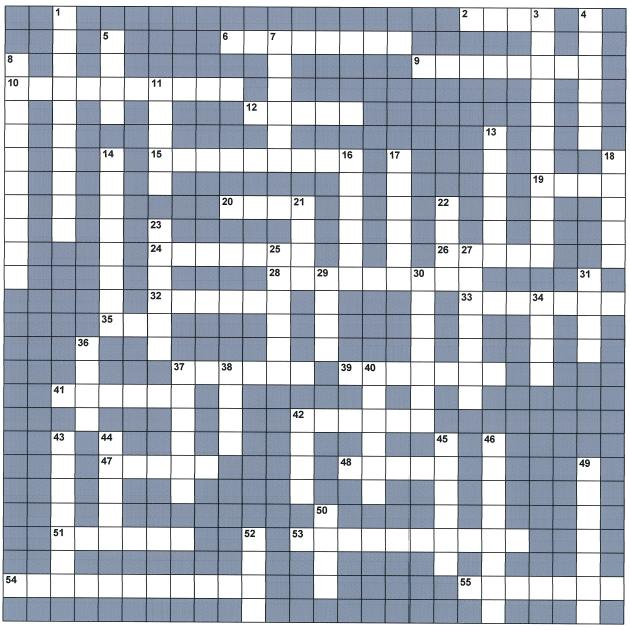
[ Puzzle grid shown here is approximately 1/2 its regular size. ]
ACROSS
2. Land which is not deep or high; having a smooth, even, level surface.
6. Until July, 1997, -?- was a British colony in East Asia. (two words)
9. Hurricanes and -?- are two names for the same weather disturbance.
10. The -?- circumference of the earth is 24,901.46 miles.
12. The constitutional capital of Bolivia is -?- some 260 miles southeast of La Paz, the
administrative capital.
15. A large peninsula on the east coast of Russia is the -?- Peninsula.
19. A raised area of land lower than a mountain.
20. Floating masses of vegetation that often obstruct navigation on the White Nile River.
24. The largest country on the -?- Peninsula is Saudi Arabia.
26. A fine-grained metamorphic (any of those rocks changed from their original form due to
large changes in temperature and pressure) form of clay or shale.
28. A particle of rock or iron from outer space that has not been completely burned up by its
passage through the earth’s atmosphere and hence has reached the ground.
32. Rio de la Plata: The estuary on the southeastern coast of South America, extending 225
miles between Argentina and Uruguay, formed by the merging of the -?- and Uruguay
rivers.
33. The latitude of 0 degrees from which other parallels are measured in degrees; is exactly
halfway between the North and South Poles.
35. A body of salt water or ocean partly surrounded by land, generally considered smaller
than an ocean.
37. The beautiful faint glow seen around the sun during a total eclipse.
39. The capital of Algeria is -?-.
41. The water area off the coast of Cameroon, Equatorial Guinea, Gabon, and Congo is known
as the Bight of -?-.
42. The large bay north of Ontario, Canada, is -?- Bay.
47. The capital of the Philippines is Manila on -?- Island.
48. A mass of frozen gasses including small rocky bits and dust traveling around the sun, with
a gaseous tail made visible by reflected sunlight when it is closest to the sun.
51. The earth’s -?- is the region starting 20 to 30 miles beneath the surface and extending
down some 1800 miles.
53. Winds blowing from west to east are called -?-.
54. Maps using the -?- projection have little distortion near the Equator.
55. This result is produced by the violent expansion of the air caused by the tremendous heat
of lightning.
DOWN
1. All of the people inhabiting a specified area.
3. The lowest layer of the atmosphere, about 6 to 12 miles thick, in which nearly all the
weather and clouds occur.
4. Most of the world’s energy comes from -?- fuels.
5. A path, passage, road, channel, or way through; something that gives access.
7. A great cloud of dust and gas in our galaxy, visible either as a dark obscuring cloud or as
a luminous cloud.
8. Any region of low air pressure. If the air pressure over tropical waters continues to fall, it
becomes a tropical storm or, lower still, a hurricane.
11. In the United States, the -?- Mountains are higher than the Appalachian Mountains.
13. The -?- Desert is the world’s largest desert at 3,500,000 square miles.
14. The -?- effect: A force produced on objects moving on a north-south line on the Earth’s
surface because of the angular velocity of Earth as it rotates from west to east.
16. Referring to high mountain (mountain areas).
17. A starlike source of radio waves - their red shift shows they are very far away, which
seems inconsistent with the strength of the radio waves that reach us.
18. Precipitation consisting of generally transparent frozen or partially frozen raindrops; a
mixture of rain and snow or hail.
21. A hill or ridge of sand that has been deposited or piled up by the wind.
22. Because of the Coriolis effect, a projectile fired directly southward from the North Pole
would be deviated to the -?-.
23. The -?- is the prairie grassland of central Argentina - one of the best farming areas in the
world.
25. Iquitos, Peru, marks the uppermost limits of navigation on the -?- River.
27. The direction or side, for example, of a mountain range, sheltered from the wind.
29. The -?- is a desert area between India and Pakistan.
30. Spain and Portugal occupy the -?- Peninsula.
31. Areas of soft, waterlogged ground; marshes; swamps.
34. An imaginary line through the center of the earth, from pole to pole, around which the
earth rotates.
36. A system of parallel, criss-cross lines, each line of which is identified by numbers or letters,
for example, on a map.
37. A narrow, deep valley with steep sides - many have a river on their floor.
38. A -?- valley is a long, deep valley marking a major crack in the earth’s crust. There is a
"Great" one in Africa. In oceans, they tend to run along the crests of oceanic ridges.
40. The capital of Portugal is -?-.
42. Cape -?- is the southernmost part of South America.
43. Because the word -?- pertains to producing (or caused by) heat, it is used in reference to
clouds and nuclear reactions.
44. A large area with either level or rolling land - often treeless.
45. A -?- crop is a food that is used widely and continually, for example, wheat, barley, rice.
46. The capital of India is -?-. (two words)
49. The bed of a stream or river; the deeper part of a river or harbor - especially a deep
navigable passage.
50. Grassland; any of the open grazing areas of southern Africa. (also:----t)
52. An island, especially a small one - used poetically, and in place names.
Last modified: January 2, 2013